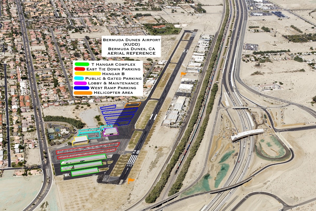
Aerial Reference map for parking, hangar, & lobby location reference
 Runway 28 and our with our T-Hangars & facilities on the South side
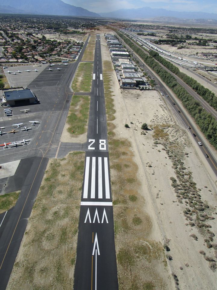 Runway 28 from above with the Train Tracks & Freeway to the North (right hand side)
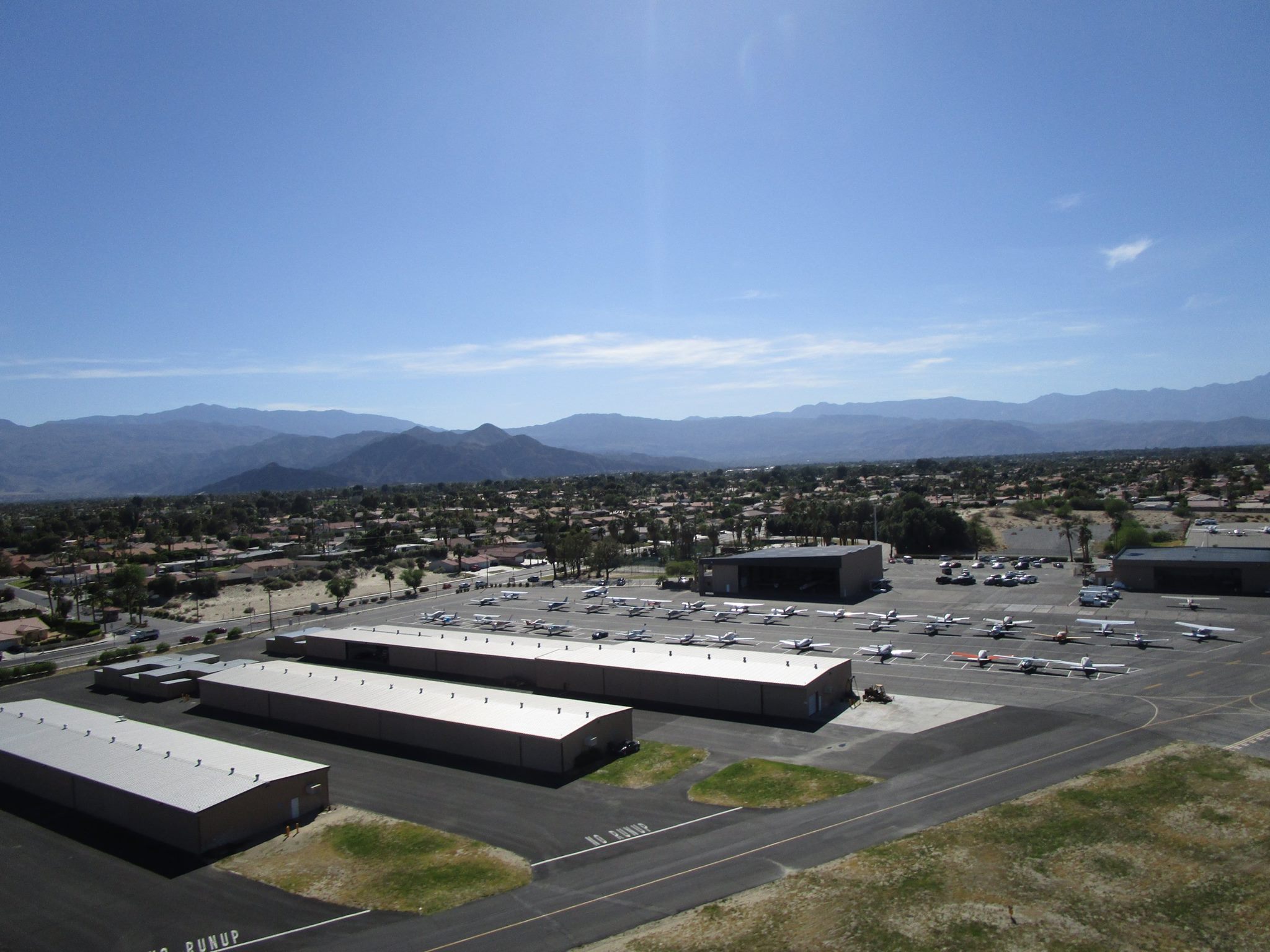 T-Hangars, Tie Downs, and our Community Hangars
 Our Tie Downs are located to the East of our Maintenance Hangar/Terminal Building (Bottom right hand corner)
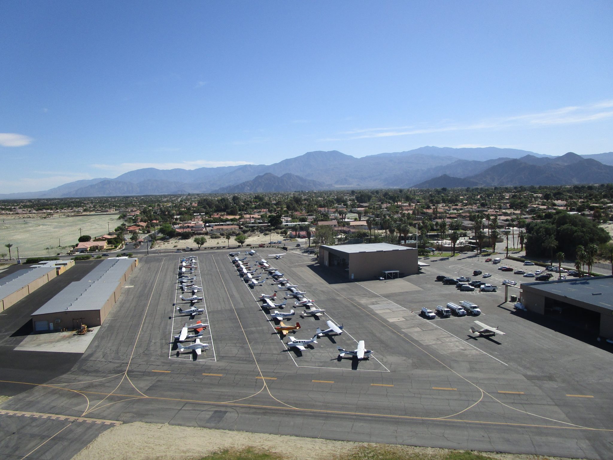
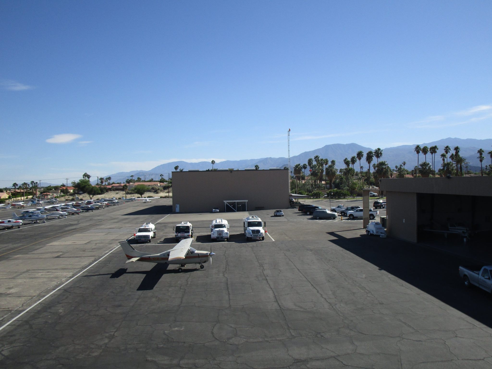 Maintenance Hangar/Terminal Building (West side) to the right, Community Hangar in the center, and our Tie Downs (East side) to the left
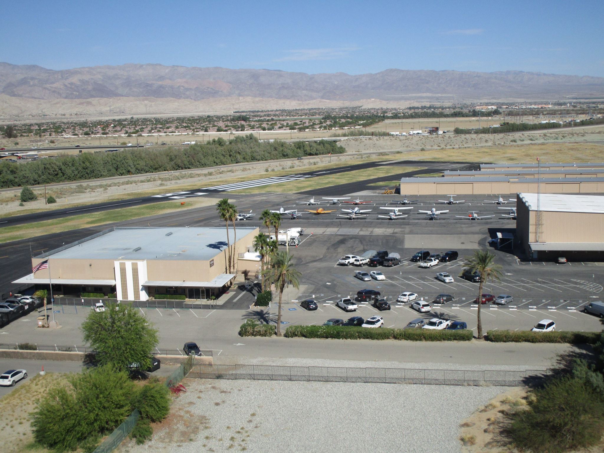
 Our Terminal Building with the desert landscape in the background
 Terminal Building with both public and gated parking options (South of the Terminal Building)
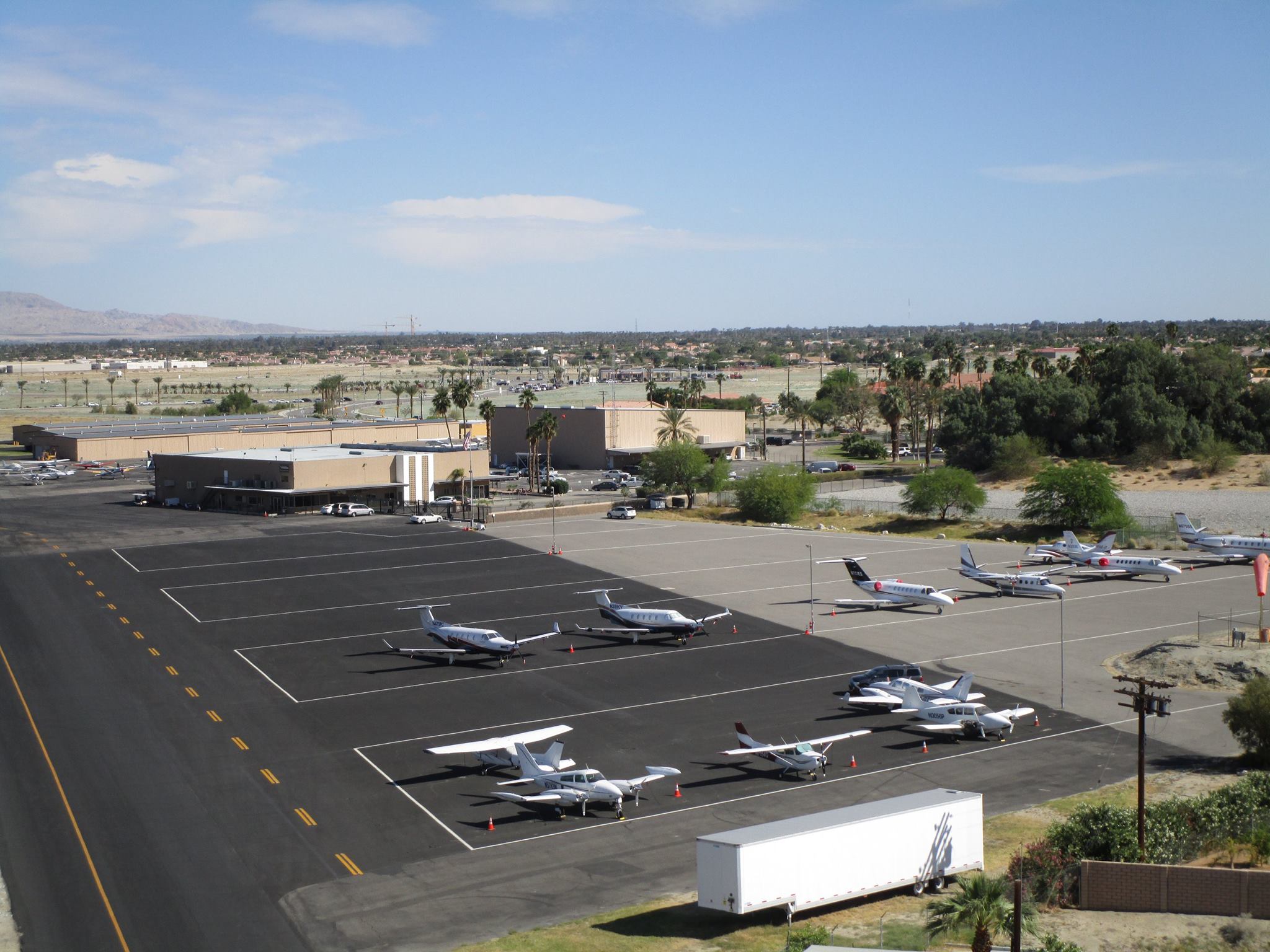 West ramp parking area with our Terminal Building in the background
 Approach end of Runway 10